Learn Details About Atrai Upazila
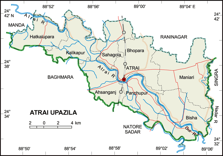
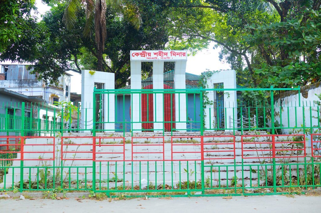
Atrai Upazila (Bangla: আত্রাই উপজেলা) is a southern upazila (sub-district) of Naogaon district. Previously, Atrai was a thana (Bangla: থানা), established in 1916, and it was upgraded to an Upazila in 1983 AD. It has an area of 284.41 km2 (109.81 sq mi) is bounded by Raninagar and Manda upazila on the north, Natore sadar upazila on the south, Singra upazila (Natore) on the east, Bagmara upazila (Rajshahi) on the west.
Atrai town is the administrative center of this upazila. It is situated on the bank of the Atrai river, with a distance of 27 km from Naogaon district town.
Geographical Location
The upazila located between approximately 24 degrees 32 inches and 24 degrees 42 inches north latitude and 88 degrees 49 inches and 89 degrees 06 inches east longitude.1
Administration
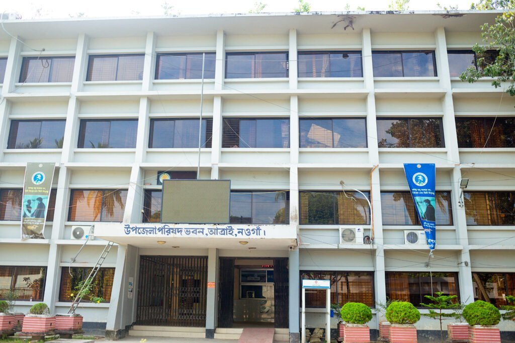
The upazila consists of eight unions, 155 mouzas and 207 villages.
Electoral Area: 51, Naogaon-6 (Atrai-Raninagar)
List of Union Parishads
Atrai Upazila has a total of 8 union parishads (councils). The names of the union parishads are:
- Shahagola
- Bhonpara
- Ahsanganj
- Panchupur
- Bisha
- Maniary
- Kalikapur
- Hatkalupara
Explore full list of Union Parishads in Naogaon district.
Historical Places
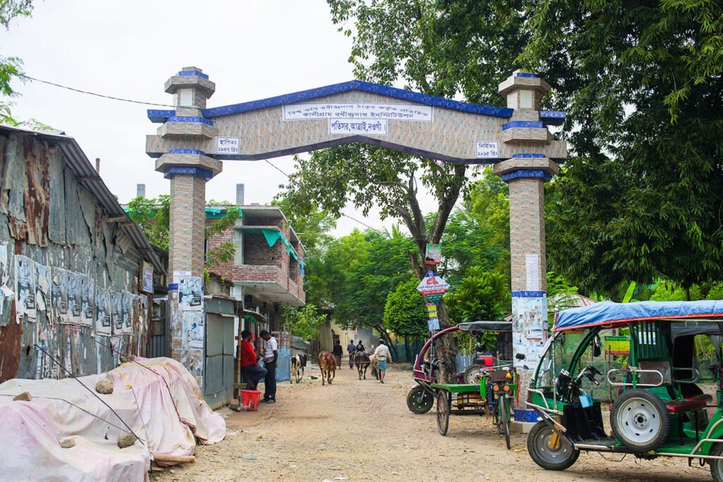
The upazila has three historical sites; they are also protected monuments declared by the Government of Bangladesh. These are:
- Rabindranath’s Kachari Bari at Patisar (পতিসর রবীন্দ্র কাছারি বাড়ি)
- Gandhi Ashram (Bangiya Relief Committee)
- Islamganthi Mosque Mosque
Find a complete list of historical sites and protected monuments in Naogaon district.
Population
Total Population in Atrai Upazila is 201,459. This data is based on 2022 census.2 Annual Population growth rate is 0.37%. Gender ratio is 93.13 (93.13 male against 100 female).
Total household in Atrai is 55946. Its average household size is 3.57 pesrons.
The upazila has only 19 ethnic individuals. This is the lowest among upazilas in Naogaon. The male count is 8, while the female count is 11.
Literacy and Education
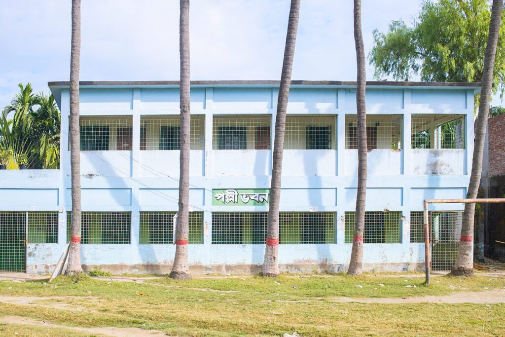
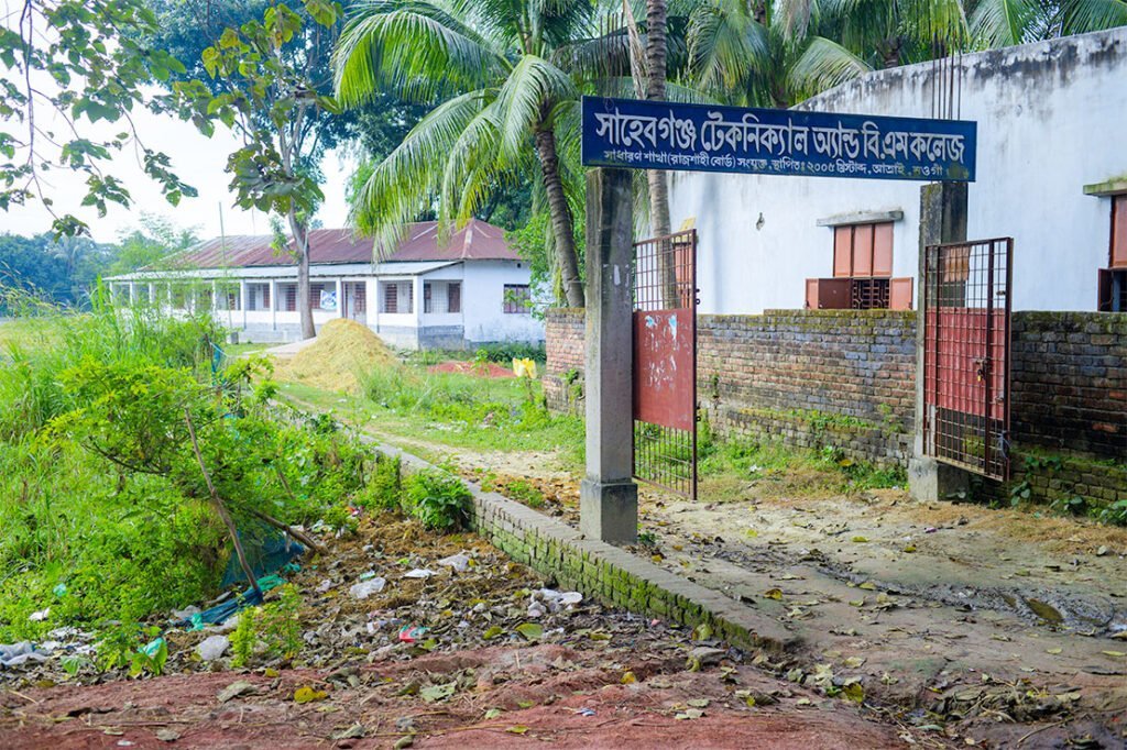
According to the 2022 census,4 Atrai upazila‘s literacy rate is 67.47%. The male rate is 70.74%, and the female rate is 64.46%. The literacy rate is calculated for individuals aged 7 and above.
Atrai upazila’s most old educational institution is Bandaikhara School, that established in 1874.
Number of Educational Institution
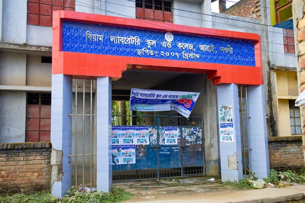
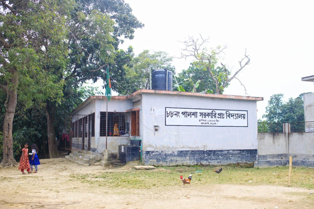
Total Educational Institutions in the upazila is 251
- Government Primary Schools: 130
- Private Kindergartens: 3
- Lower Secondary Schools (Girls): 1
- Lower Secondary Schools (Co-ed): 2
- Secondary Schools (Girls): 2
- Secondary Schools (Co-ed): 29
- Higher Secondary Colleges (Girls): 1
- Higher Secondary Colleges (Co-ed): 1
- Technical Colleges (Girls): 1
- Technical Colleges (Co-ed): 6
- Degree Colleges (Women): 1
- Degree Colleges (Co-ed): 2
- School and College: 25
Historical Literacy Rate Chart
This chart represents the literacy rate of Atrai Upazila of Naogaon for various census years. The data is sourced from District Statistics 2011, Naogaon, and the 2022 census.
Number of Religious Institutions in Atrai Upazila
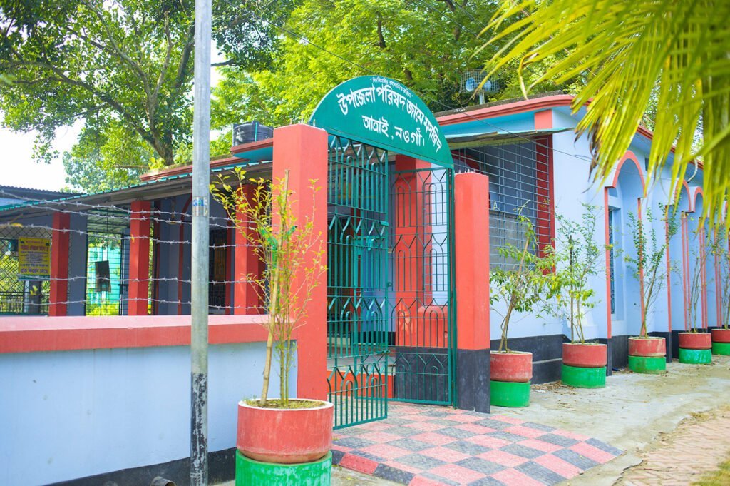
Two types of religious institutions are found: one is for prayer-based activities, and the other is for religious education. At this time, the data here includes a count of prayer-based religious institutions only in Atrai Upazila as per 2011 census.6 These figures are symbolic of the religious environment of the area, mainly dominated by Islamic culture. Conversely, the existence of a significant number of Hindu temples indicates a vibrant Hindu community actively participating in religious and cultural events. However, the absence of churches and pagodas in Atrai Upazila indicates a limited presence of Christian and Buddhist communities, respectively. Overall, the data provides a fine-grained account of the religious prayer infrastructure of Atrai Upazila.
Number of Prayer-based Religious Institutions
- Mosque: 296
- Eid-Gah: 110
- Temple (Mandir): 108
- Church (Girza): 0
- Pagoda: 0
- Others: 0
Number of Education-based Religious Institutions
Madrasas (for muslims): 15
Education-based religious institutions play a crucial role in nurturing religious understanding and instilling values within religious communities. In this context, Atrai Upazila has 15 madrasas specifically catering to the Muslim community. But it’s worth mentioning that there are no institutions dedicated to other religious communities. This fact indicates the dominance of Islamic educational facilities in the upazila.
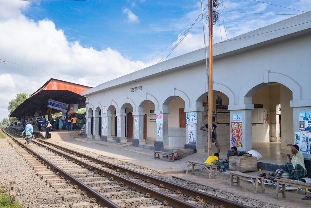

Agriculture in Atrai Upazila of Naogaon
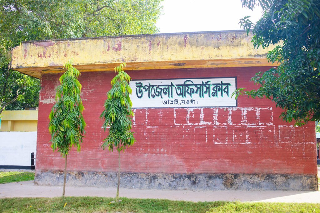
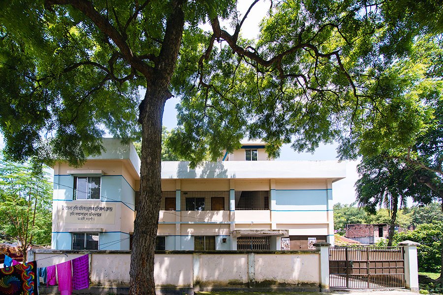
Atrai is an agriculture-based upazila and it plays a major role in upazila’s economy. The upazila contains fertile land that is suitable for great agricultural production.
The upazila features various types of land, including high land, medium-high land, medium land, medium-low land, low land, and very low land. While more than three crops are cultivated on highland, the other areas of the upazila can cultivate single-crop, double-crop, and triple-crop. Farmers schedule and choose types of crops depending on the type of land.
Atrai Upazila produces more food than is required. The area’s food production significantly exceeds its requirements resulting in substantial surpluses.7
Cultivable Land Classification Chart
This chart represents the classification of cultivable land in Atrai Upazila. The data is measured in hectares.
NGO Activities in Atrai Upazila
Important NGOs those are actively operetional in Atrai are: Grameen Bank (গ্রামীণ ব্যাংক), Caritas, Brac (ব্র্যাক), Proshika (প্রশিকা), Ujjiban, Asa (আশা), GUK etc.
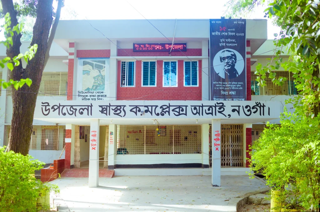
Health Centres
Upazila health complex: 1
Union health and family welfare centre: 9
References and Footnotes
- Atrai Upazila – এক নজরে আত্রাই ↩︎
- Population and Housing Census 2022, District Report – Naogaon ↩︎
- Population and Housing Census 2022, District Report – Naogaon ↩︎
- Population and Housing Census 2022, District Report – Naogaon ↩︎
- Atrai Upazila – এক নজরে আত্রাই ↩︎
- District Statistics 2011, Naogaon ↩︎
- Upazila Agriculture Office, Atrai, Naogaon – At a Glance ↩︎


