
Google Street View’s Journey in Naogaon
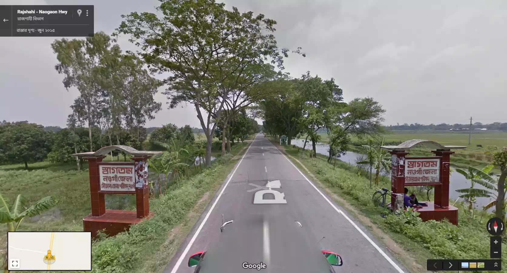
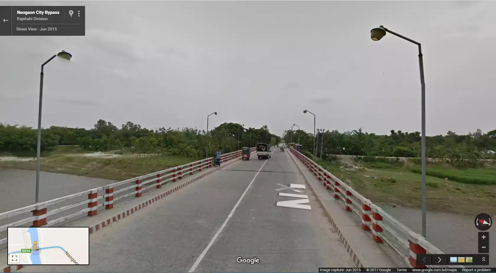
Google Street View cameras entered Naogaon district for the first time in mid- 2015. Through this, Naogaon district is added to Google’s groundbreaking feature. As a result, online explorer folks found an opportunity to explore Naogaon district through a 360 degree view. This article will cover information and pictures related to that journey.
Science and technologies are illuminating our lives every moment through their deep contribution. With the help of a small and pocket size mobile phone, we are now getting all the necessary information about life.
Digital maps are an unparalleled contribution in our life and with its help, it is very easy to find any location or destination. Google is a pioneer in digital mapping technology. Over the time, Google has added many modern features to their map service. Street View is one of their most innovative features. This feature allows people to see their location in a 360 degree view. This is Google named, street view.
Street View’s Journey
In 2007, this feature was first introduced in America. In Bangladesh, Google Street View started in 2013 with the help of the Bangladesh Government. Later, they expanded this work across the whole country, including our Naogaon district. Unfortunately, Google only covered a few areas of Naogaon district in their street view in the middle of 2015.


Naogaon in Google’s Lens
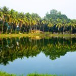
They have entered Naogaon district from the Rajshahi side. It ends-up on Dhaka road, where Bogra and Naogaon district border has started. They only took 360 degree pictures of this path as well as Kusumba Mosque, Balihar Palace, Naogaon town Bypass and Paharpur Vihara. Paharpur Vihara get really deeper views in street view. If you visit this historical place through Google Street View, you’ll feel like you are really there. But two more important places of Naogaon, Dubolhati Rajbari and Patisar Kachhari Bari are out of street view coverage. They have covered more places and streets of larger cities like our neighboring Bogra and Rajshahi district. Although we must feel happy about that, at-least some of our streets and places are in Google Street View.


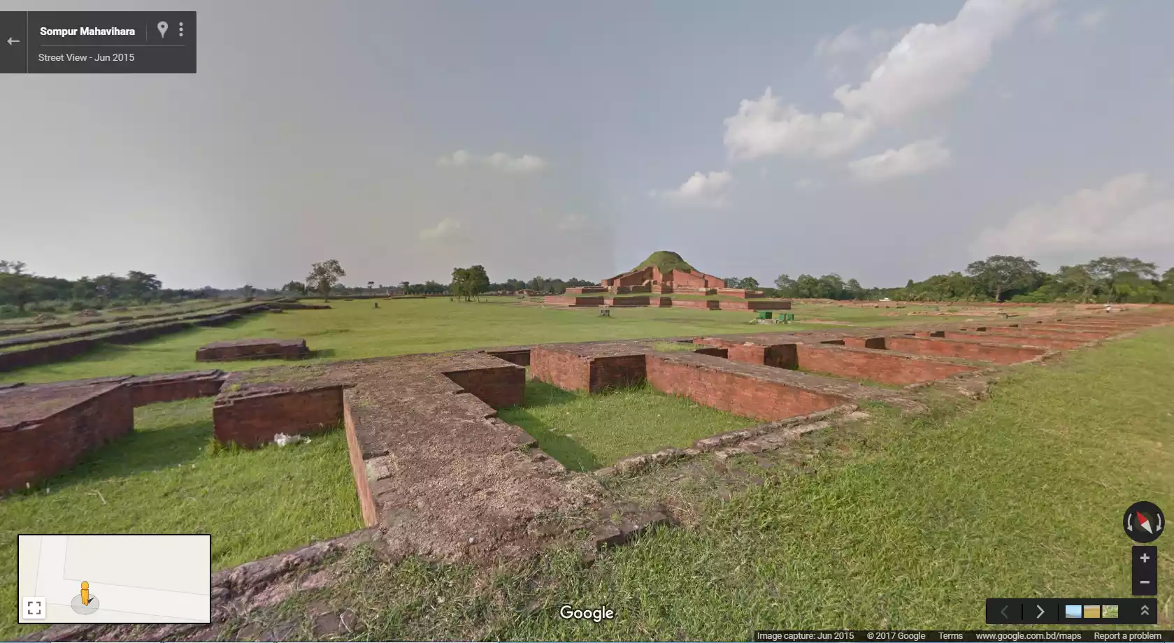


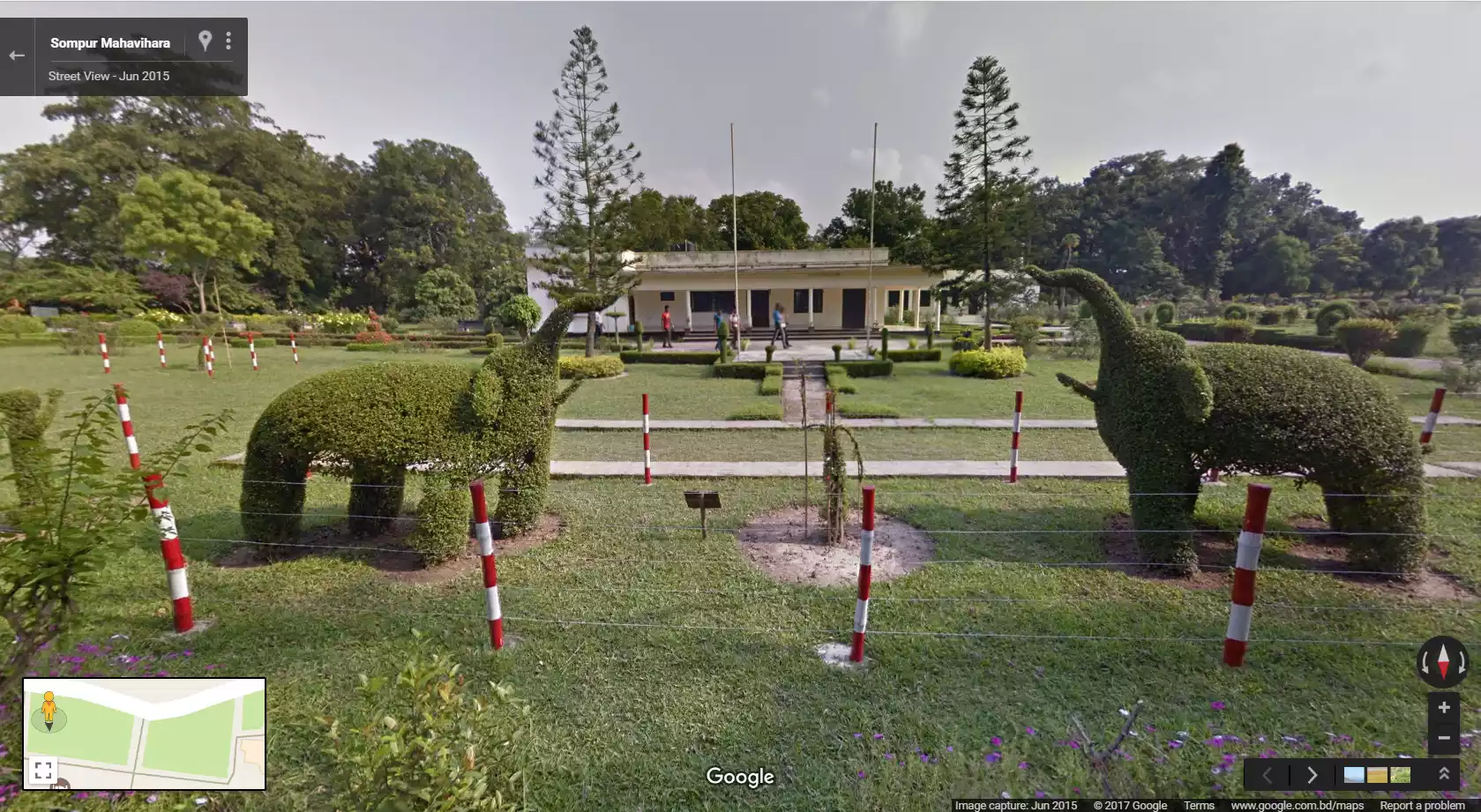
Photo: Google Street View