Tag চিকিৎসা

Badalgachhi Upazila, Naogaon
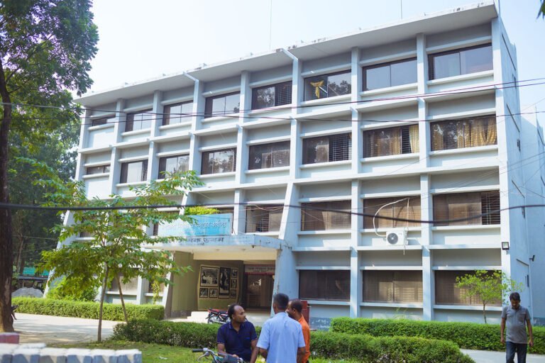
UNO Office, nestled in the Badalgachhi Upazila Complex, captured in 2023 AD.

Badalgachhi Upazila (Bangla: বদলগাছী উপজেলা) or Badalgachi or Bodolgachi is located 21 km north from the zero point of Naogaon district town according to Google Maps. This is an upazila under the Naogaon district that is bordered by the boundaries…

Atrai Upazila, Naogaon

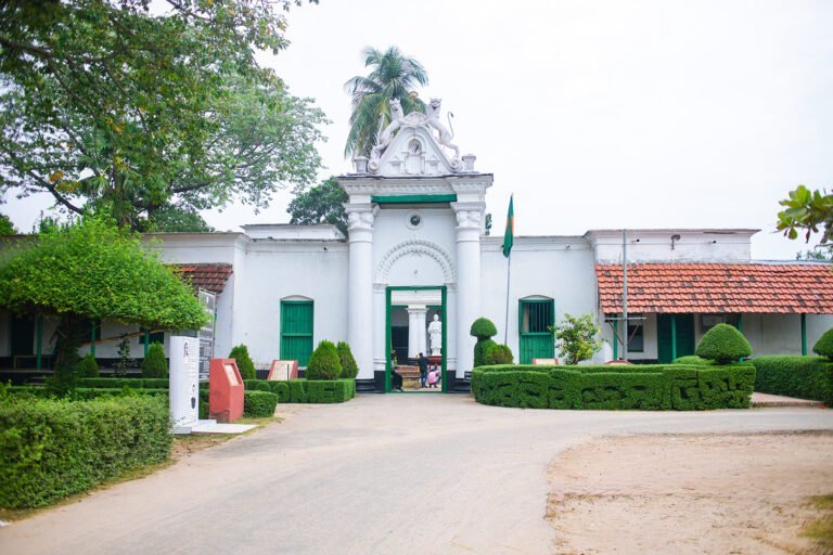
A white colored Patisar Rabindra Kachari Bari (রবীন্দ্র কাছারি বাড়ি) building in Atrai Upazila of Naogaon district. Photo taken in 2023 AD.

The map of Atrai Upazila displays its administrative areas within Naogaon district. Learn Details About Atrai Upazila Atrai Upazila (Bangla: আত্রাই উপজেলা) is a southern upazila (sub-district) of Naogaon district. Previously, Atrai was a thana (Bangla: থানা), established in 1916,…

Sadar Upazila : Naogaon

2014 photograph of Naogaon Sadar Upazila Land Office, also known as AC Land Office.

Map of Naogaon sadar upazila Learn details of Naogaon Sadar Upazila About the Sadar Upazila Naogaon Sadar Upazila (Bangla: নওগাঁ সদর উপজেলা) is one of the 11 Upazilas of Naogaon District. It has an area of 275.73 square kilometers and…

List of Govt. Hospital in Naogaon District

Atrai Health Complex - Government Hospital

Explore List of Naogaon’s Govt. Hospitals, Facilities & Key Doctors About Govt. Hospitals In Naogaon Before providing the list, let’s explore what these govt. hospital throughout Naogaon district offer for their patients. Across the Naogaon district, there are 12 government…

Raninagar Upazila, Naogaon

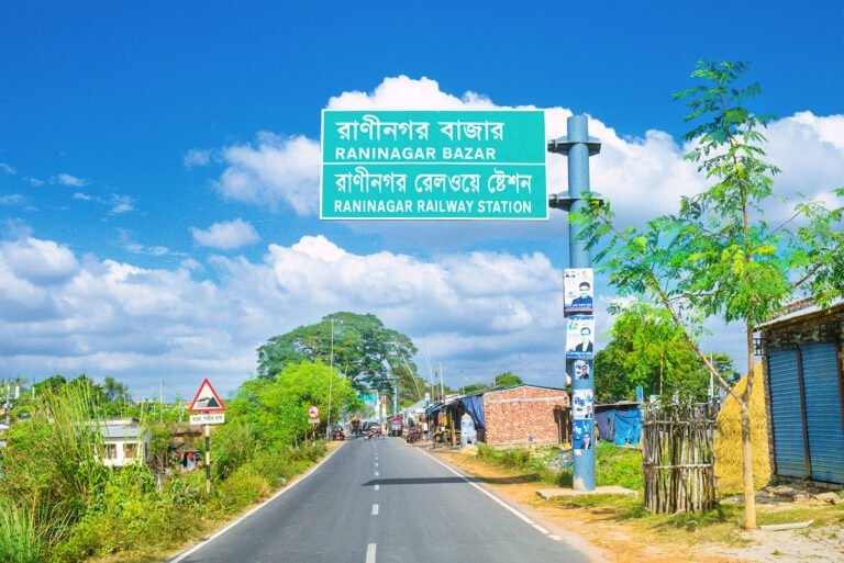
Bright HD day view from south of Raninagar Railway Station with road sign on Naogaon to Natore highway.

Learn Details About Raninagar Upazila of Naogaon District About Raninagar Upazila Raninagar Upazila (Bangla: রাণীনগর উপজেলা) also spelled Raninogor, is one of the 11 upazilas of Naogaon district. It has an area of 258.33 sq km. and bounded by Naogaon sadar and…

Naogaon District

Naogaon district

Discover Naogaon: A Comprehensive Insight About Naogaon Naogaon district (Bengali: নওগাঁ জেলা) is a class “A” district under Rajshahi division with an area of 3435.67 sq km, is bounded by West Bengal of India on the north, Natore and Rajshahi districts…