Tag Chart

Patnitala Upazila, Naogaon

Patnitala Upazila road and gate beside Nazipur-Dhamoirhat road, leading to Upazila Parishad administration complex, 2024.

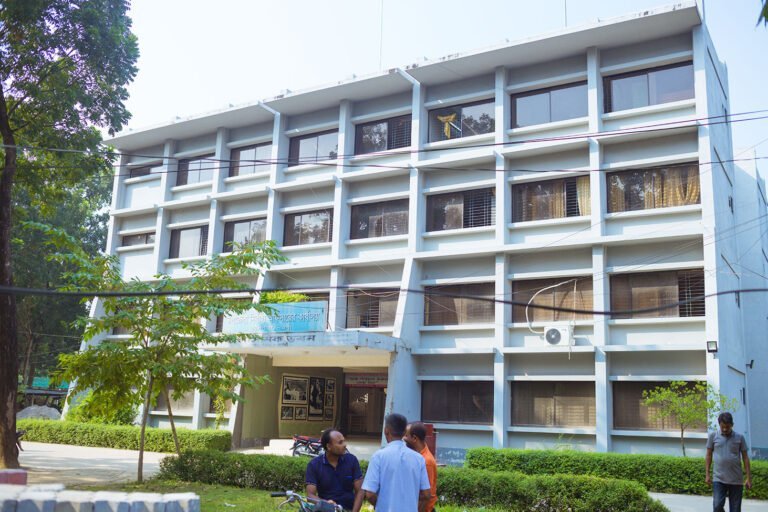
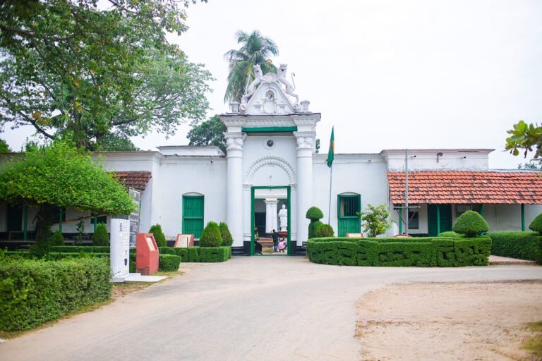
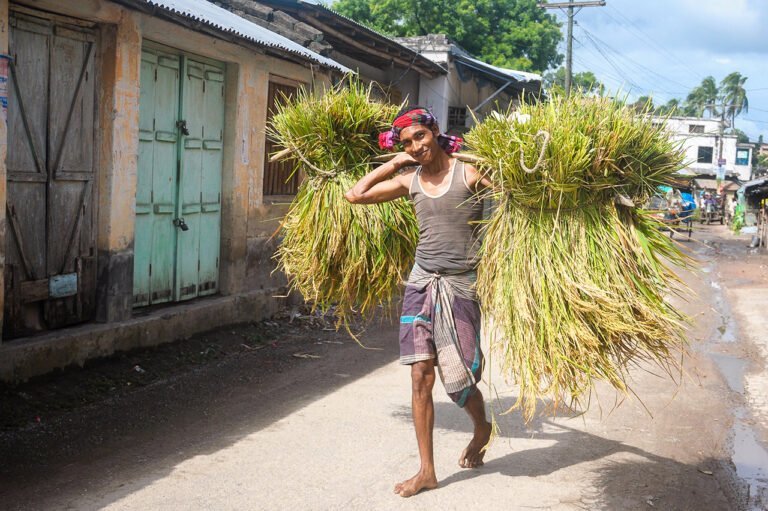
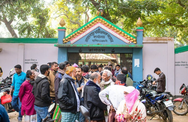
Patnitala Upazila (Bangla: পত্নীতলা উপজেলা) also known as Potnitola is an upazila (sub-district) of Naogaon district within the Rajshahi Division of Bangladesh. While the name of the upazila is Patnitala, it is located in Nazipur (নজিপুর) town and is 39…

Badalgachhi Upazila, Naogaon

UNO (Upazila Nirbahi Officer) Office, nestled in the Badalgachhi Upazila Complex, captured in 2023 AD.

Badalgachhi Upazila (Bangla: বদলগাছী উপজেলা) also known as Badalgachi or Bodolgachi is located 21 km north from the zero point of Naogaon district town according to Google Maps. This is an upazila under the Naogaon district that is bordered by…

Atrai Upazila, Naogaon

A white colored Patisar Rabindra Kachari Bari (রবীন্দ্র কাছারি বাড়ি) building in Atrai Upazila of Naogaon district. Photo taken in 2023 AD.

The map of Atrai Upazila displays its administrative areas within Naogaon district. Learn Details About Atrai Upazila Atrai Upazila (Bangla: আত্রাই উপজেলা) is a southern upazila (sub-district) of Naogaon district. Previously, Atrai was a thana (Bangla: থানা), established in 1916,…

Agriculture in Naogaon District

A joyful farmer carries bundles of rice crop on a bamboo stick in Dubalhati Bazaar, Naogaon. Rice is the main agricultural product in the region.

Explore Naogaon’s Agricultural Scenario And Statistics Naogaon is a northern district of Bangladesh which is renowned for its rich agriculture. Agriculture is the backbone of its economy. This district belongs to the Barind region and the Barind Multipurpose Development Authority…

Population in Naogaon District

A 2022 picture of Mohadevpur town's population, as a large crowd gathers in front of a local registration complex.

Learn About Naogaon’s Population And Its Statistics Located in the northern part of Bangladesh, Naogaon district is home to a diverse population. This article will provide a comprehensive look at Naogaon’s demographic data, complete with charts, statistics, and other facts.…

Sadar Upazila : Naogaon

HD Beautiful entrance of Naogaon Sadar Upazila Parishad complex, Bangladesh - 2024.

Map of Naogaon sadar upazila Learn details of Naogaon Sadar Upazila About the Sadar Upazila Naogaon Sadar Upazila (Bangla: নওগাঁ সদর উপজেলা) is one of the 11 Upazilas of Naogaon District. It has an area of 275.73 square kilometers and…

Raninagar Upazila, Naogaon

Bright HD day view from south of Raninagar Railway Station with road sign on Naogaon to Natore highway.

Learn Details About Raninagar Upazila of Naogaon District About Raninagar Upazila Raninagar Upazila (Bangla: রাণীনগর উপজেলা) also spelled Raninogor, is one of the 11 upazilas of Naogaon district. It has an area of 258.33 sq km. and bounded by Naogaon sadar and…