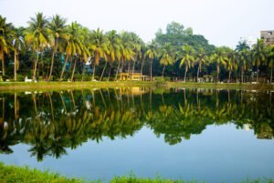
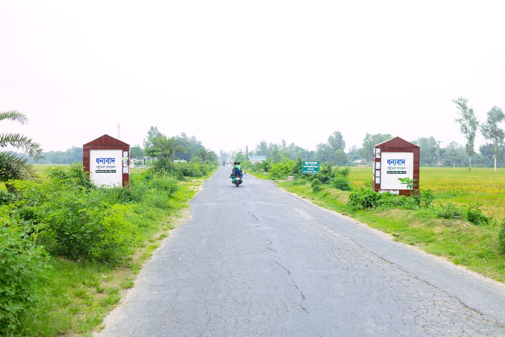
Patnitala Upazila (Bangla: পত্নীতলা উপজেলা) also known as Potnitola is an upazila (sub-district) of Naogaon district within the Rajshahi Division of Bangladesh. While the name of the upazila is Patnitala, it is located in Nazipur (নজিপুর) town and is 39 km west of the zero point of Naogaon district town, according to Google Maps. Patnitala is positioned between latitudes 24.58°N to 25.08°N and longitudes 88.42°E to 88.52°E.
Patnitala upazila has an area of 382.39 sq km and bordered by Dhamoirhat Upazila and the Indian border. Mohadevpur Upazila on the south, while Badalgachhi Upazila is to the east, and Sapahar Upazila is to the west. The Atrai River flows through Patnitala Upazila and the Little Jamuna River runs along its eastern side. Patnitala Upazila has 14.01 sq km of reserve forest.
History of Patnitala Upazila
Patnitala Upazila was established as a thana (police station) in 1807. At that time, it was part of West Dinajpur district of undivided India. Around 1911-1912, the northeastern part of Patnitala Thana was used to create Dhamoirhat Thana, which is now an upazila in the Naogaon district.
After the partition of India in 1947, Patnitala Thana became part of the Bogura district. Then, In 1949, it was integrated into Naogaon mahakuma of the greater Rajshahi district. Finally, as part of administrative decentralization in 1983, Patnitala Thana was upgraded to an upazila (sub-district) and became one of the 11 upazilas of the Naogaon district.

Administration
Here’s a breakdown of Patnitala Upazila’s administrative divisions:
- Electoral Area: 47, Naogaon-2 (Patnitala and Dhamoirhat Upazila)
- Villages: 297
- Mouza: 297
- Union Councils: 11
- Upazila Parishad: 1
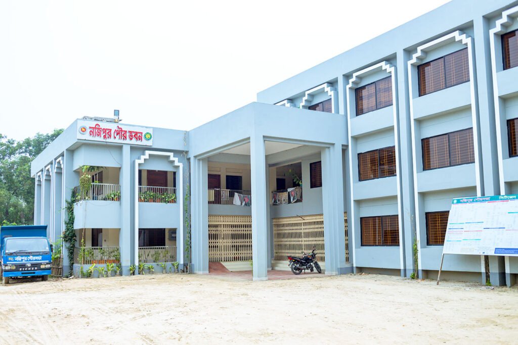
- Municipality (Pourosova): 1 (Nazipur Pourashava)
- Police Station (thana): 1
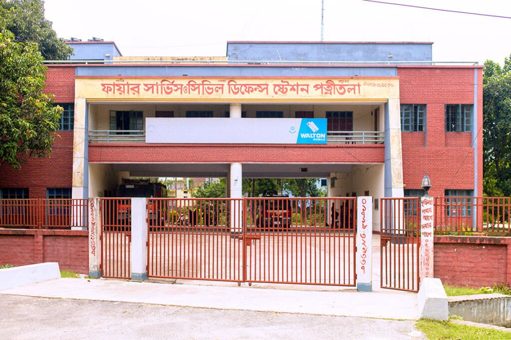
- Fire Service Station: 1

Union Parishads in Patnitala Upazila
A list of Patnitala upazila’s eleven Union Parishads, with their correct name spellings in both English and Bengali, is here.
- Akbarpur (আকবরপুর)
- Amair (আমাইড়)
- Dibar (দিবর)
- Ghoshnagar (ঘোষনগর)
- Krishnapur (কৃষ্ণপুর)
- Matindar (মাটিন্দর)
- Nazipur (নজিপুর)
- Nirmail (নিরমইল)
- Patichara (পাটিচরা)
- Patnitala (পত্নীতলা)
- Shihara (শিহাড়া)
Explore detailed list of Union Parishads in Naogaon district.
Religion
Religious Worship Facilities in Patnitala Upazila
- Mosques (মসজিদ): 365
- Temples (মন্দির): 149
- Churches (গীর্জা): 9
- Eidgah (Open-air space for Eid prayers) (ঈদগাহ): 165
Population
Here is the population scenario of Patnitala Upazila, based on the 2022 National Census:1
- Total population: 250,729 people
- Gender ratio: 99.36
- Household: 69,228
- Average Size of Household: 3.58 person
Widowed and Divorced/separated Population (2011 census)
Widowed
- Male: 0.9 %
- Female: 10.9 %
Divorced/separated
- Male: 0.2 %
- Female: 1.2 %
Population by Type of Disability
As of the 2022 census, here is the data of disabled population in Naogaon’s Patnitala Upazila. In addition to this, it will show gender-wise disability counts of people with each type of disability.2
| Disability Type | Total Disabled | Disabled Male | Disabled Female |
|---|---|---|---|
| Autism | 119 | 78 | 41 |
| Physical Disability | 1,700 | 1,061 | 639 |
| Mental Illness | 410 | 234 | 176 |
| Visual Disability | 464 | 268 | 196 |
| Speech Disability | 354 | 191 | 163 |
| Intellectual Disability | 211 | 131 | 80 |
| Hearing Disability | 222 | 116 | 106 |
| Deaf Blindness | 23 | 13 | 10 |
| Cerebral Palsy | 46 | 25 | 21 |
| Down Syndrome | 31 | 18 | 13 |
| Multiple Disabilities | 399 | 219 | 180 |
| Other Disability | 330 | 174 | 156 |
| Patnitala (total) | 4,309 | 2,528 | 1,781 |
Population by Religion in Patnitala Upazila
From the total population count of Patnitala Upazila here is the distribution of religious population as of the 2022 census.
| Religion | Population | Percentage (%) |
|---|---|---|
| Total Population | 250,729 | 100.00% |
| Muslim | 197,687 | 78.84% |
| Hindu | 44,686 | 17.82% |
| Christian | 5,229 | 2.09% |
| Buddhist | 18 | 0.01% |
| Others | 3,109 | 1.24% |
| Patnitala (total) | 250,729 | 100.00% |
Patnitala Upazila has a total population of 250,729. The majority, 78.84% are Muslims. Hindus are 17.82%, which is second-largest. Christians are 2.09% of the population. On the other hand, Buddhists and “Others” are 0.01% and 1.24%, respectively.
Education
Historical Literacy Rates From 1981 to 2022
| Censuses | Literacy Rate (%) |
|---|---|
| 1981 Census | 28.0% |
| 1991 Census | 32.0% |
| 2001 Census | 49.8% |
| 2011 Census | 52.5% |
| 2022 Census | 76.18 |
The table shows a clear view of literacy rate improvements within Patnitala Upazila over five census years. Starting with a literacy rate of 28.0% in 1981, there was a gradual increase to 32.0% by 1991. This trend gained significantly to 49.8% in the 2001 census. By the 2011 census, the rate had further improved to 52.5%. The most substantial increase in the 2022 census. The literacy rate reached 76.18%.

Educational Institutions in Patnitala of Naogaon
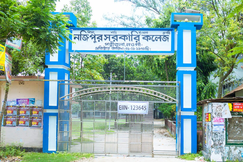
The numbers of educational institutions, both general and religious, are listed below.3
- Government Primary Schools: 82
- Private Primary Schools: 41
- Community Primary Schools: 06
- Junior High Schools: 6
- College (Co-education): 3
- College (Girls): 1
- Technical Colleges: 4
- Dakhil Madrasa: 28
- Alim Madrasa: 2
- Fazil Madrasa: 7
Government Primary Education in Patnitala
As per the 2011 census, here is the scenario of primary education in Patnitala.4
- Number of Government primary school: 82
- Number of total teacher: 403
Male: 189
Female: 214 - Number of total student: 13356
Male: 6545
Female: 6811 - Students per teacher: 33

Health Centres in Patnitala Upazila
- Government Upazila Health Complex: 1
- Non-Government Hospital/Clinic/Nursing Home: 11
- Diagnostic Center: 6
- Missionary Hospital/Charitable Hospital: 1
- Union Health Centre: 6
References and Footnotes
- Population and Housing Census 2022, District Report – Naogaon ↩︎
- Population and Housing Census 2022, District Report – Naogaon ↩︎
- এক নজরে পত্নীতলা ↩︎
- District Statistics 2011, Naogaon ↩︎


