Category Naogaon District

Explore a wealth of resources in this category dedicated to the Naogaon district. Consider this your main hub for navigating our website. Start exploring without hesitation! From here, you can navigate to all the upazilas within the Naogaon district. Find reliable information ranging from in-depth articles and up-to-date statistics to essential contact lists and pictures. Dive into detailed lists of villages and Union Parishads, as well as information on local government, health, and education. Stay updated with current weather forecasts. Discover comprehensive guides and information on all tourist spots in the Naogaon district, including the UNESCO World Heritage Site, Somapura Mahavihara in Paharpur village. Begin your journey with this category to explore archaeological sites in the Naogaon district, such as Kusumba Mosque and Patisar Rabindra Kachari Bari, right here at naogaon.site.

Naogaon district town situated on the banks of Little Jamuna River.

Naogaon District

Naogaon district

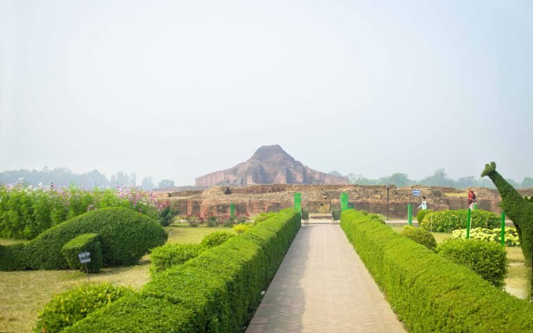
Discover Naogaon: A Comprehensive Insight About Naogaon Naogaon district (Bengali: নওগাঁ জেলা) is a class “A” district under Rajshahi division with an area of 3435.67 sq km, is bounded by West Bengal of India on the north, Natore and Rajshahi districts…