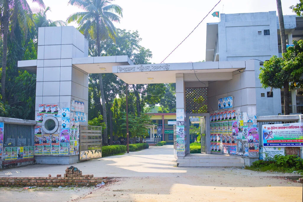
Entrance of Naogaon Sadar Upazila Parishad complex - 2024.
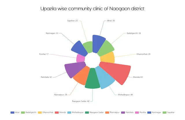
Naogaon district, located in the Rajshahi division, has 11 upazilas (sub-districts). Below is a full list of upazilas (also known as Thana) in Naogaon along with some basic geographical information presented in card and chart.
List of Upazilas in Naogaon District and Basic Information
This chart shows the population rankings of all upazilas in Naogaon district, as per 2011 census. The data is arranged in ascending to descending order, with the most populous upazila on the left and the least populous upazila on the right.
Area Rankings of Naogaon Upazilas
This chart displays the area rankings of the upazilas in Naogaon district. The upazilas are sorted based on their area size in ascending to descending order. Among the list, the Niamatpur upazila is the largest upazila of Naogaon district with an area of 449.10 square kilometers. On the other hand, the smallest upazila of the district is Badalgachhi, which is 213.98 square kilometers.
Upazilas Photo Gallery
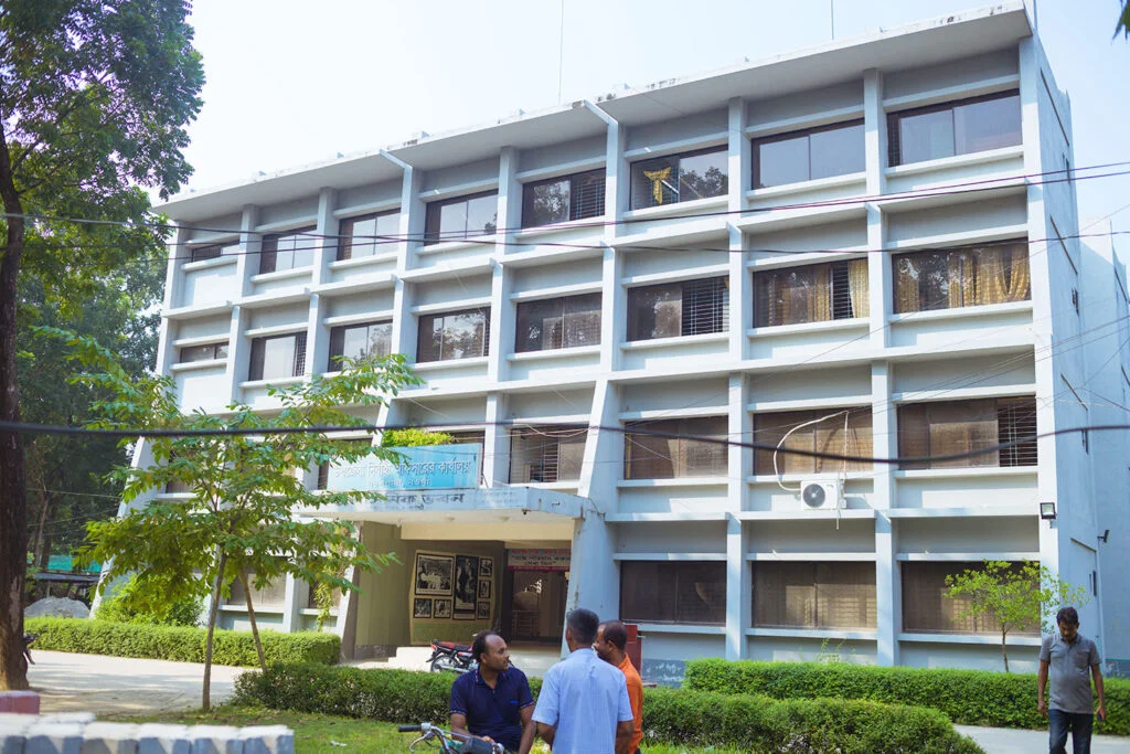
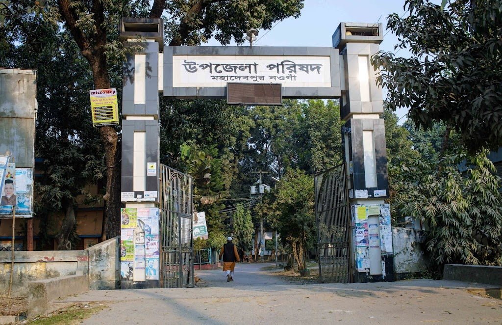
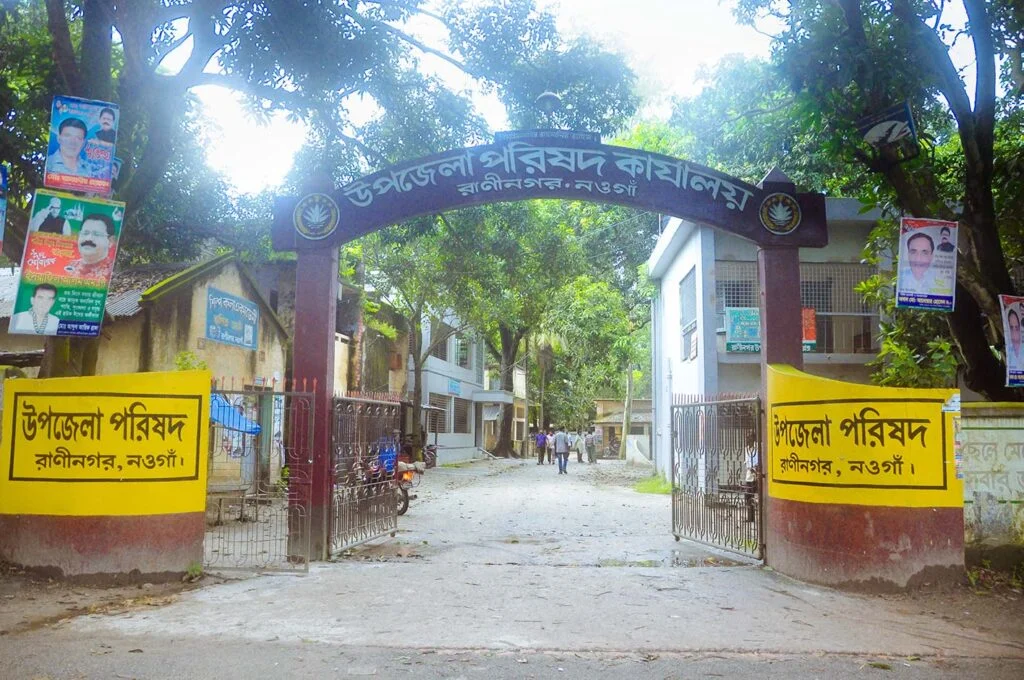
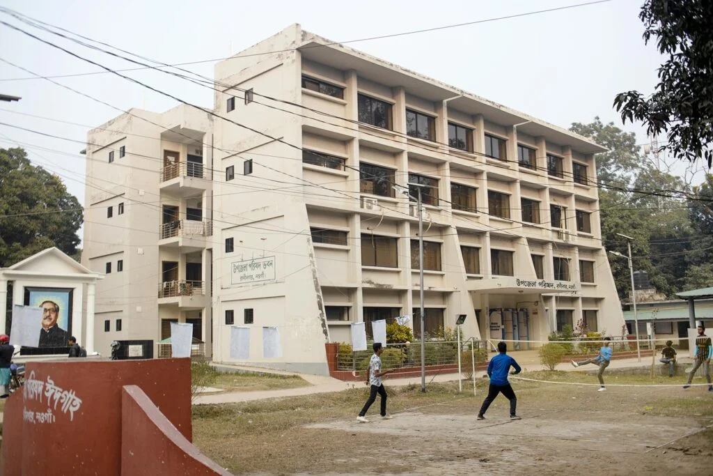
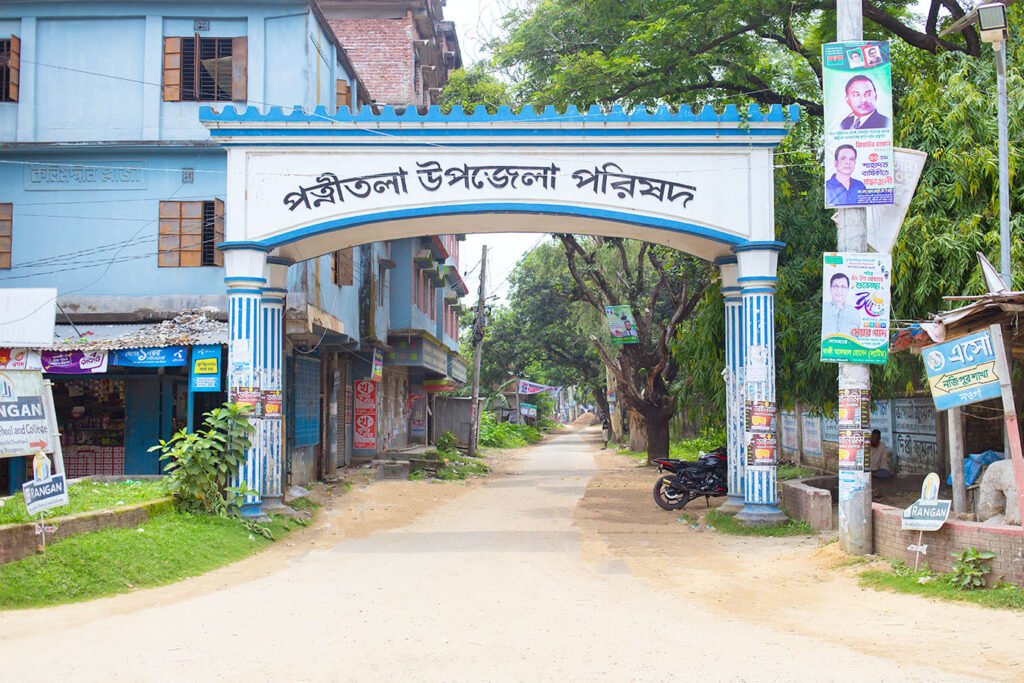
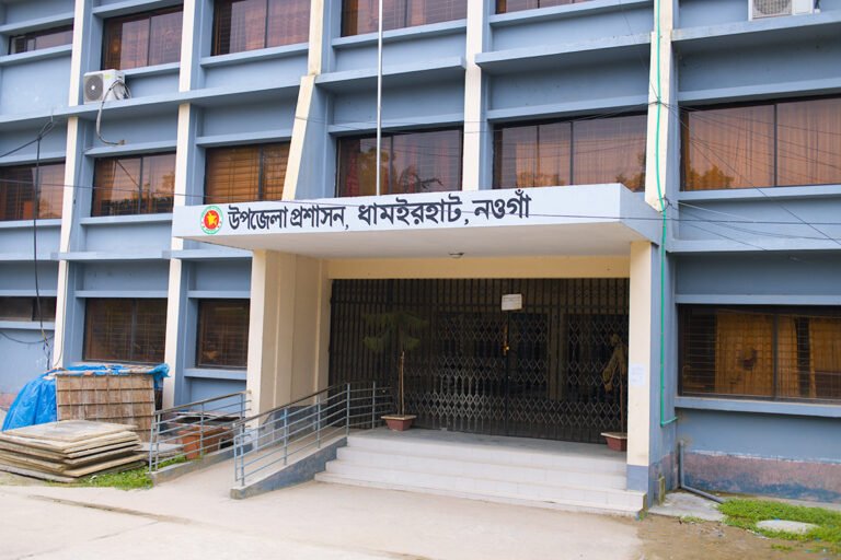
Entrance of Naogaon Sadar Upazila Parishad complex – 2024.UNO (Upazila Nirbahi Officer) Office building within Badalgachhi Upazila Complex, 2023.Mohadevpur Upazila Parishad.Atrai Upazila Parishad Building inside the Upazila Parishad Complex, Naogaon – 2023.Picture of Main entrance of Raninagar upazila complex, captured in 2014 AD.Raninagar Upazila Parishad Complex.Badalgachhi Upazila Complex in 2023.Patnitala Upazila Parishad, 2024.