Tag শিক্ষা

Naogaon Primary School List

South Sultanpur Govt. Primary School located in the Naogaon municipality area. Photo 2023 AD.

Upazila-wise Complete List of Government Primary Schools in Naogaon District The list covers all Government Primary School in Naogaon District, organized by upazila. Each list has three elements, school name, EIIN number, and the union parishad where the school is…

Dhamoirhat Pourashava

Dhamoirhat Pourashava, Dhamoirhat Upazila, Naogaon - 2024.

Dhamoirhat Pourashava (Bangla: ধামইরহাট পৌরসভা), a category “B” municipality, located in Dhamoirhat upazila under Rajshahi Division’s Naogaon district. This local government institution has been serving the residents of Dhamoirhat town since its establishment in 2004. Dhamoirhat Pourashava at a Glance…

Nazipur Pourashava

Nazipur Poura Bhaban of Nazipur Pourashava (নজিপুর পৌরসভা) in Patnitala - 2024.

Nazipur Pourashava (Bangla: নজিপুর পৌরসভা), a category “C” municipality, serves the residents of Nazipur town under Patnitala Upazila of Naogaon district. The municipality was first started its journey in 1999. Nazipur Pourashava at a glance Population Pourashava / Ward Total…

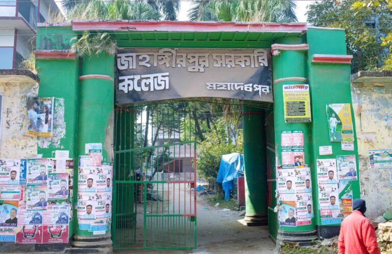
Education in Naogaon District

Raigaon High School in Mataji Hat, Mohadevpur. This school established 1946 AD.

The scenario of education in Naogaon district, including statistics, educational institutional amounts, student and teacher information, and more, will be provided here. Literacy Naogaon District Historical Literacy Rate As per the 2022 census, the present literacy rate in Naogaon district…

Badalgachhi Upazila, Naogaon

UNO (Upazila Nirbahi Officer) Office, nestled in the Badalgachhi Upazila Complex, captured in 2023 AD.

Badalgachhi Upazila (Bangla: বদলগাছী উপজেলা) also known as Badalgachi or Bodolgachi is located 21 km north from the zero point of Naogaon district town according to Google Maps. This is an upazila under the Naogaon district that is bordered by…

Mohadevpur Upazila, Naogaon

Green surroundings at Upazila Parishad Gate, Mohadevpur

Mohadevpur Upazila (Bangla: মহাদেবপুর উপজেলা), also known as Mohadebpur, is a sub-district (upazila) of Naogaon District in the Rajshahi Division of Bangladesh. Mohadevpur is only upazila in Naogaon that has no border with any neighboring districts. It’s situated in the…

Patnitala Upazila, Naogaon

Patnitala Upazila road and gate beside Nazipur-Dhamoirhat road, leading to Upazila Parishad administration complex, 2024.

Patnitala Upazila (Bangla: পত্নীতলা উপজেলা) also known as Potnitola is an upazila (sub-district) of Naogaon district within the Rajshahi Division of Bangladesh. While the name of the upazila is Patnitala, it is located in Nazipur (নজিপুর) town and is 39…

Dhamoirhat Upazila, Naogaon

Dhamoirhat Upazila Administrative Building within Upazila Parishad premises, 2024.

Learn Details About Dhamoirhat Upazila Dhamoirhat Upazila (Bangla: ধামইরহাট উপজেলা) is a northern upazila (sub-district) in Naogaon district. The upazila is surrounded by Western Bengal (India) on the north, Badalgachhi and Patnitala upazilas on the south Sapahar Upazila on the…

Manda Upazila, Naogaon

South-side view of the historical site Kusumba Mosque, Naogaon, Bangladesh.

Manda Upazila (Bangla: মান্দা উপজেলা) is a sub-district (upazila) of Naogaon District in the Rajshahi Division of Bangladesh. The upazila headquarters is located 33 km west of Naogaon district town and 49 km north of the divisional city of Rajshahi.…

Atrai Upazila, Naogaon

A white colored Patisar Rabindra Kachari Bari (রবীন্দ্র কাছারি বাড়ি) building in Atrai Upazila of Naogaon district. Photo taken in 2023 AD.

The map of Atrai Upazila displays its administrative areas within Naogaon district. Learn Details About Atrai Upazila Atrai Upazila (Bangla: আত্রাই উপজেলা) is a southern upazila (sub-district) of Naogaon district. Previously, Atrai was a thana (Bangla: থানা), established in 1916,…