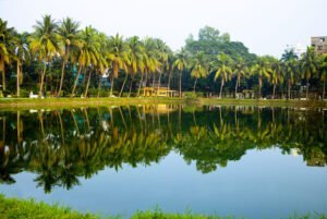
Atrai Upazila, Naogaon
The map of Atrai Upazila displays its administrative areas within Naogaon district.…

The map of Atrai Upazila displays its administrative areas within Naogaon district.…

Learn About Naogaon’s Population And Its Statistics Located in the northern part…

Explore Naogaon’s Agricultural Scenario And Statistics Naogaon is a northern district of…

About The 10th National Assembly (Jatiya Sangsad) elections in Bangladesh took place…
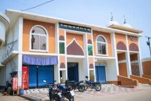
Overview and Number of Mosques in Naogaon District In this article, we…

Map of Naogaon sadar upazila Learn details of Naogaon Sadar Upazila About…

Introduction and Contact Info of Journalists in Naogaon In the vibrant district…

Kashimpur Rajbari (Bangla: কাশিমপুর রাজবাড়ি) also known as Pagla Rajar Bari (পাগলা…

Explore List of Naogaon’s Govt. Hospitals, Facilities & Key Doctors About Govt.…

Find a Marriage Registrar (Kazi) in Naogaon Municipality About Kazi Offices (Marriage…
About The 11th National Assembly (Jatiya Sangsad) elections in Bangladesh took place…
Naogaon district, located in the Rajshahi division, has 11 upazilas (sub-districts). Below…

Naogaon district (Bengali: নওগাঁ জেলা) is politically divided into six electoral constituencies…

Directory of Healthcare Facilities in Naogaon District Town About The list contains…