Tag Data Visualization

A joyful farmer carries bundles of rice crop on a bamboo stick in Dubalhati Bazaar, Naogaon. Rice is the main agricultural product in the region.

Agriculture in Naogaon District

Explore Naogaon’s Agricultural Scenario And Statistics Naogaon is a northern district of Bangladesh which is renowned for its rich agriculture. Agriculture is the backbone of its economy. This district belongs to the Barind region and the…

A 2022 picture of Mohadevpur town's population, as a large crowd gathers in front of a local registration complex.

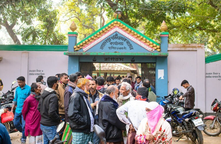
Population in Naogaon District

Learn About Naogaon’s Population And Its Statistics Located in the northern part of Bangladesh, Naogaon district is home to a diverse population. This article will provide a comprehensive look at Naogaon’s demographic data, complete with charts,…

Beautiful rural Dewan Mahbub Alam Chishti Eidgah Jame Masjid in Chanda Bazaar, Mohadevpur, Naogaon.

Mosques in Naogaon District: Union & Upazila-wise Count

Overview and Number of Mosques in Naogaon District In this article, we provide a comprehensive amount and statistics of mosques located across various upazilas and union parishads of Naogaon district. The mosque data is obtained from…

Upazilas in Naogaon district

Upazilas in Naogaon District

Naogaon district, located in the Rajshahi division, has 11 upazilas (sub-districts). Below is a full list of upazilas (also known as Thana) in Naogaon along with some basic geographical information presented in card and chart. List…

Naogaon Server Station and District Election Office that responsible for selecting the representatives of constituencies by conducting elections.

Electoral Constituencies in Naogaon District

Naogaon district (Bengali: নওগাঁ জেলা) is politically divided into six electoral constituencies and each of them representing different combinations of the upazilas. In Bangladesh, electoral constituencies are also referred to as Seats or Parliamentary Seats in…